THE recent discovery of strange coordinates — stretching as far as from Antarctica — in Zimbabwe’s latest delimitation process, has left the integrity of the exercise in tatters, given the many shortcomings identified by Parliament which were not resolved.
NATHAN GUMA
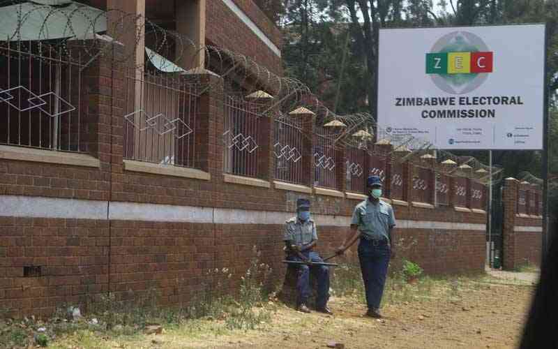
Civil society group Team Pachedu discovered that many coordinates which the Zimbabwe Electoral Commission (Zec) used in delimiting some wards for the upcoming August elections were from the far-flung remote, virtually uninhabitable Antarctica, further exposing electoral fraud.
Located at the South Pole, Antarctica is the world’s fifth-largest continent, a vast land mass almost entirely covered with ice and surrounded by ocean, unlike the Arctic region, which is a frozen sea surrounded by land.
Why Zec chose Antarctica coordinates to delineate local Zimbabwean wards is a mystery, but the resultant fraud damages the credibility of the process. The parliamentary ad hoc committee on delimitation said Zec used a complicated; unworkable system.
“Zec had an option to use a simpler geographic coordinate system that represents location in terms of degrees, minutes, and seconds, such that users can simply enter the coordinates on google maps to identify locations in their respective wards and constituencies.
“Zec indicated that it used the Geographic and Projected system which is modern and also adopted by other countries in the Sadc region. The coordinates on the maps are meant for experts while the descriptions were for use by the general public.
“In the committee’s view, it was not prudent to prioritise regional benchmarks without considering the interest of citizens. We do not know whether the benchmarks being referred to by Zec also extend to how electoral commissions must choose coordinate systems,” the parliamentary ad hoc committee said in its report on the preliminary draft delimitation report.
In the final report gazetted by Mnangagwa, Zec said it used the Geographic and Projected coordinate systems in delimiting electoral boundaries.
“The Geographic coordinate system which uses Latitude and Longitude was adopted for mapping at the national level while the projected coordinate system (in this case Universal Transverse Mercator (UTM) coordinate system) based on the Modified Clarke 1880 spheroid (SA) was used for mapping electoral boundaries at the subnational level e.g., local authority level. Zimbabwe falls into two UTM zones which are divided by the 300 line of longitude i.e., Zone 35 and 36 south of the equator.
“Coordinates were therefore measured and recorded using these UTM zones. In this delimitation report, the coordinates were used to provide precise location of electoral boundaries to compliment the textual descriptions. In the text, coordinates were only used in instances where there were no describable features (i.e., distinct physical or man-made features).
“All electoral boundary maps i.e, national, provincial and local authority level have a scale bar labelled with its ground length for easy interpretation,” said Zec in the preliminary delimitation report.
More irregularities were unearthed in the preliminary delimitation report, many of which were carried into the final report, including Zec’s failure to stick to the 20% variance threshold in populations of respective constituencies, raising eyebrows over the credibility of the delimitation process.
In January this year, the committee highlighted a number of constituencies and wards where the 20% threshold was surpassed.
In Manicaland province, the committee found out that in Makoni West constituency’s ward 12 was delimited at 3 274 above the maximum threshold of 3 185.
Ward 16 in the same constituency was delimited at 3 226 above the maximum threshold of 3 185.
In Mashonaland East, ward 9 of Marondera municipality was delimited at 3 057 above the threshold of 3 051.
In Mashonaland West, Zvimba Rural District Council’s ward 1 was delimited at 4 675 above the permissible maximum threshold of 3 912.
The committee also picked that in Matabeleland North, Hwange West constituency’s ward 2 was delimited at 2 267 above the maximum threshold of 2 211. Zec also used a wrong maximum threshold of 2 211 instead of 2 188, but the wards were still above the maximum threshold of both values.
Several other discrepancies were noted in other wards from Manicaland, Mashonaland Central, Matabeleland North and South.
The committee also raised concerns in 14 constituencies.
Zec pointed out in its report that Gutu South was collapsed because it did not meet the required threshold to make a constituency, but the committee found out that none of the constituencies in the whole of Gutu district met the minimum required threshold at the time the electoral body conducted the delimitation exercise, save for Gutu West.
Gutu South had 18 453 registered voters, Gutu East 16 822 and Gutu North 15 359.
“Zec was supposed to abide by the principle of fairness and use similar formula which it was using in other provinces, constituencies and wards that those with low registered voters than the others in the same constituency or province would be collapsed to give in to those that had more registered votersas at the time Zec conducted its delimitation exercise.”
“Community of interest between registered voters in Gutu South was not considered as some registered under a certain chief are now under two different constituencies,” read the report.
The ad hoc committee also noted that in Mberengwa East there was unjustified movement of Musiiwa polling station from ward 4 Bikita West to Bikita South constituency and recommended that Musiiiwa polling station be returned to Ward 5.
In Binga North, the committee expressed concern over why Zec did not create three constituencies when the numbers allowed.
The total voter population in Binga North was 81 118, and if three constituencies were created, the average constituency would have averaged 27 039 voters.
In Zvishavane Runde, the committee made a proposal for wards 1,2,3,4 and 9 to be retained and move Hwani Village from ward 13 to ward 8, Hwande and Mugabe villages from ward 2 to ward 1 Chikuni, Mafurire and Masuna Villages to ward 2, Ndebvu, Ndirishe and Dumbu from ward 9 to ward 4, and moving villages 11, 13, 14 from ward 14 to ward 9.
The committee also made recommendation that in Zvishavane Ngezi, 10 000 voters be moved to beef up numbers in Mberengwa and create one constituency called Mberengwa-Zvishavane.
Recent findings by Team Pachedu are likely to dent the credibility of the delimitation process, which has been flagged as unconstitutional.